3 result(s) for riverside road in Current Affairs
Danube To Rise Rapidly This Week In Budapest
- 4 Feb 2020 10:11 AM
- http://www.hatc.hu
- current affairs
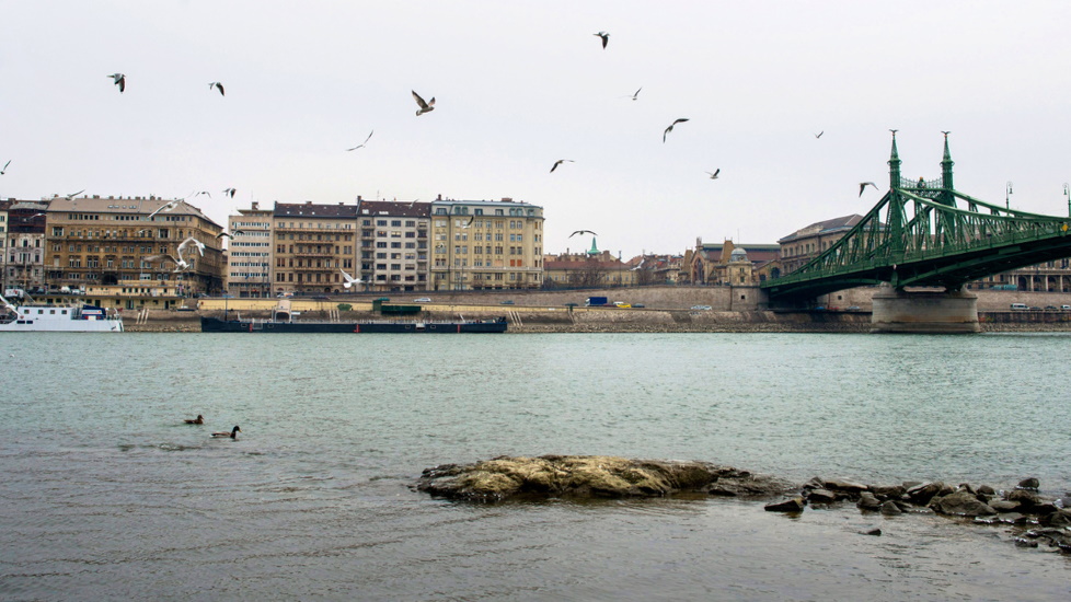
The level of the Danube in Budapest is expected to rise by five metres this week, as considerable amounts of rain have fallen on the catchment areas of major Hungarian rivers, the National Water Management Authority reports.
Budapest Flood Damage Estimated At Ft 3bn
- 20 Jun 2013 12:45 PM
- current affairs
The lower riverside road in Buda has been re-opened to traffic, but work on cleaning the riverside road outside Parliament will continue for a few more days, Budapest mayor István Tarlós told Inforádió on Sunday. The Chain Bridge underpass on the Pest side is still under water, covering the tracks of the No. 2 tram.
National Property In Hungary Remapped With Ortophotos?
- 27 Sep 2010 3:00 AM
- current affairs
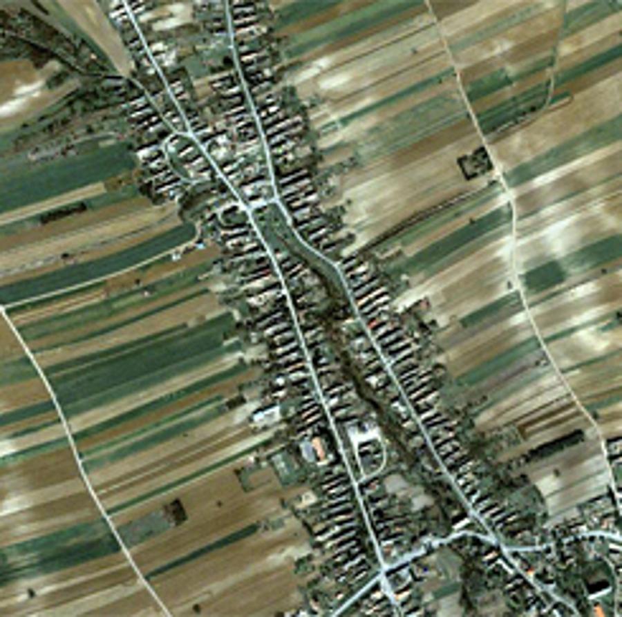
According to the ministry of development of rural areas, the current government intends to launch the brand new project of scanning and photographing the country’s entire area. As a result, an aeronautic photo coverage (similar to that of Google Earth) would be available officially.


