National Property In Hungary Remapped With Ortophotos?
- 27 Sep 2010 3:00 AM

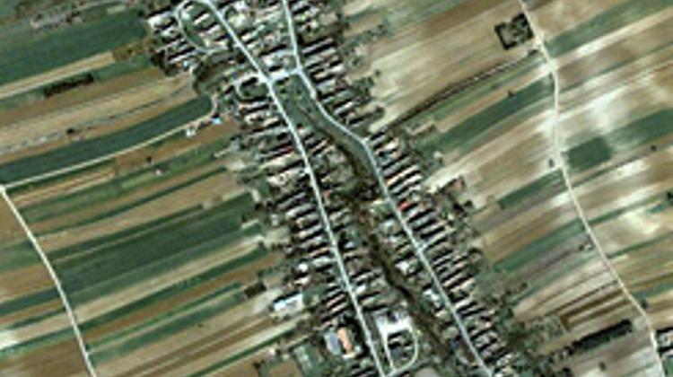
Spokesman of the ministry listed various benefits of the project. An initial procedure after the compilation of photographs would be the comparison of the official land register to what can be found in reality. This examination includes rechecking boundaries of building plots and cultivated areas, as well as exploring possible illegal dumping sites.
Since these ortophotos allow zooming in up to 10 centimeters of precision, such inventory of constantly updated photos could also help in detecting riverside areas that are potentially endangered by floods, or even spot damaged roads or abandoned estates. Furthermore, the department of interior would also benefit from such important material when taking stock of private real estates, such as tennis courts or swimming pools.
According to the ministry, the project will last until mid-summer of 2011 and further time will be required in order to systemize the acquired data. Concerning the costs of the project, precise sums have not yet been disclosed, but current estimates suggest a sum larger than 100 million HUF.
Translated by Bernát Iváncsics from Origo.hu for Xpatloop.com


LATEST NEWS IN specials